Informations
Chiffres
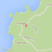
La ville de Tintagel appartient à la nation England, au comté Cornwall et au district North Cornwall.
Villes voisines
Les transports de Tintagel