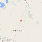
Ville de Normanton (England)

royaume-uni

Informations

Chiffres

Code pays :
GB
Code postal :
NG13
Latitude :
52.96237
Longitude :
-0.78928
Zone horaire :
Europe/London
Fuseau horaire :
UTC
Heure d'été :
Y

La ville de Normanton appartient à la nation England, au comté Lincolnshire et au district South Kesteven.

Villes voisines

  • Bottesford ~3 km
  • Kilvington ~2 km
  • Easthorpe ~3 km
  • Staunton in the Vale ~3 km
  • Alverton ~2 km
  • Muston ~4 km
  • Long Bennington ~4 km
  • Flawborough ~3 km
  • Cotham ~6 km

Les transports de Normanton

Autres transports
Barkston Heath ~15 km
Cottesmore ~27 km
Nottingham Airport ~20 km
Cranwell ~22 km
Waddington ~29 km
Booking.com

Rejoignez-nous !

Vous aimez ? Partagez !